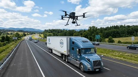
A major international oil company replaced expensive helicopter flyovers with precision BVLOS drone surveillance. The result: 67% cost savings per corridor kilometre and intelligence quality rated significantly superior to their previous approach. This is how ARCO Worldwide delivered it.
The Challenge: High Stakes, High Cost, and Too Many Gaps
Monitoring active pipeline infrastructure across the Niger Delta is one of the most operationally demanding tasks in the oil and gas industry. The threats are persistent and varied. Encroachment, vegetation overgrowth, illegal bunkering, and structural degradation all require early detection. Catching them early is the difference between a manageable incident and a catastrophic one.
For one major international oil company operating in the region, the existing solution was helicopter flyovers conducted just twice a year. The cost was substantial. The data, by modern standards, was limited. And with 212 km of active pipeline network to cover, the gaps between surveys left considerable room for risk to develop undetected.
Why Twice a Year Was Not Enough
Two surveys per year means roughly 180 days of blind spots between each pass. In an environment as dynamic as the Niger Delta, that interval is simply too long. Encroachment moves. Vegetation grows. Illegal activity escalates. Consequently, the client needed a solution that was not only more cost-effective, but fundamentally more intelligent.
They engaged ARCO Worldwide to deliver it.
Our Solution: BVLOS Corridor Surveillance With the DJI Matrice 350 RTK
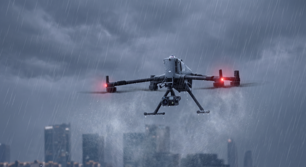
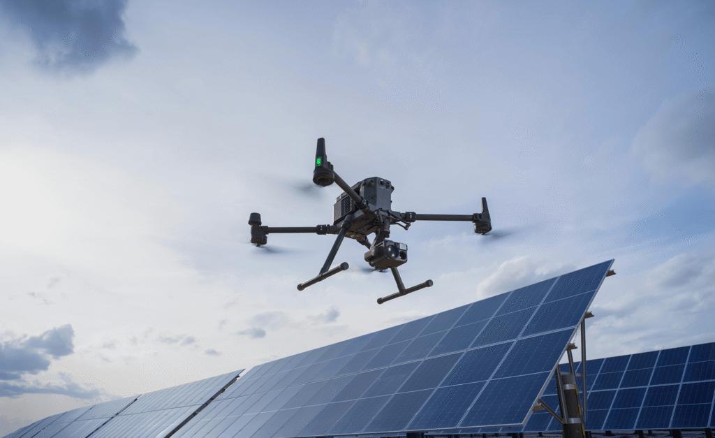
ARCO Worldwide deployed two Beyond Visual Line of Sight (BVLOS) platforms: DJI Matrice 350 RTK drones equipped with Zenmuse P1 full-frame 45MP photogrammetry payloads. This combination of DJI Enterprise hardware and our decade of operational expertise is what makes centimetre-level accuracy achievable at scale across challenging terrain.
Why the DJI Matrice 350 RTK
First and foremost, the DJI Matrice 350 RTK is purpose-built for enterprise-grade missions of this nature. It offers a robust, weather-resistant airframe with exceptional endurance. Paired with the Zenmuse P1 camera which captures 45-megapixel images at exceptional sharpness, it produces orthophotos and 3D corridor models that helicopter surveys simply cannot match.
However, technology alone does not complete a mission like this. What set this operation apart was our approach on the ground.
Regulatory Compliance and Community Partnership
Operating BVLOS in Nigerian airspace requires thorough pre-mission documentation and NCAA authorisation. ARCO Worldwide completed all flight corridor documentation in advance. This established a regulatory foundation that ensured every sortie was compliant, auditable, and defensible.
Working With the Community, Not Around It
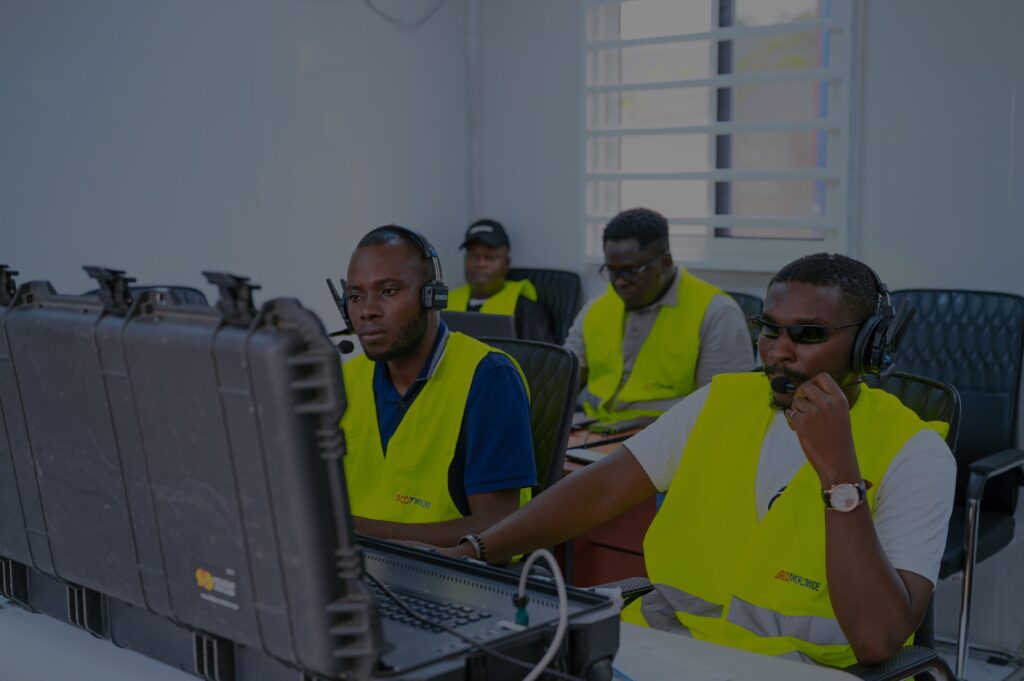
In close collaboration with local stakeholders, community leaders, and security teams, we secured swift approvals and on-ground support. This partnership is not a formality, it is a core component of how we operate. It enabled smooth access, real-time coordination, and enhanced situational awareness throughout the operation.
In environments as complex as the Niger Delta, strong community relationships are as mission-critical as the drones themselves. Therefore, community engagement is built into every operational plan we deliver not added as an afterthought.
A Structured Operational Window
The full operation was executed within a two-week window. That window incorporated weather contingencies, community engagement days, and data validation sessions. The result was a structured, professional cadence from day one to day twelve.
Mission Breakdown: Three Phases, 212 km Covered
Phase 1 — Days 1 to 4: 82 km of High-Resolution Corridor Mapping
The first phase established the operational rhythm and confirmed the value of the approach immediately. Our teams completed detailed orthophotos of 82 km of corridor. As a result, multiple encroachment points and areas of vegetation overgrowth were identified, data that poses a direct risk to pipeline integrity.
Crucially, this was data that would have been invisible from a helicopter at altitude. At centimetre-level resolution, it was now fully documented and georeferenced for client action.
Phase 2 — Days 5 to 8: 78 km of Structural Assessment and Incident Detection
Phase two delivered the operation’s most significant findings. Across 78 km of corridor, our teams completed structural integrity assessments of visible pipeline elements. Furthermore, four major encroachment incidents were documented with precise georeferencing.
Most critically, one active bunkering site was detected. Illegal bunkering, if left undetected, escalates rapidly into serious safety, environmental, and commercial consequences. Every incident was logged with high-precision GPS coordinates for immediate client action.
Phase 3 — Days 9 to 12: 52 km of Final Mapping and Data Validation
The final phase completed corridor coverage of the remaining 52 km and flagged additional anomalies. Equally important, it incorporated comprehensive cross-verification of all collected data with ground teams.
This validation step is integral to how ARCO Worldwide operates. We do not simply collect data. We ensure it is accurate, actionable, and ready for long-term use.
Deliverables: A Complete Intelligence Package
At the close of the operation, the client received the following:
Full orthomosaic map: A high-resolution map of the entire 212 km corridor, produced at centimetre-level accuracy.
Georeferenced anomaly report: Every encroachment and incident precisely located and categorised for operational response.
Incident GPS data: High-precision coordinates for every detected incident, ready for immediate action.
3D corridor model: A detailed model of the full corridor for future monitoring, planning, and change-detection analysis.
Comparative analysis: A direct comparison against previous helicopter surveys, quantifying the improvement in intelligence quality.
The Results
The numbers are straightforward. The client achieved an estimated 67% cost saving per corridor kilometre compared to traditional helicopter surveillance. That is a transformational reduction in the cost of keeping critical infrastructure safe.
Cost Reduction
~67% reduction in cost per km versus helicopter surveillance.
Intelligence Quality
Rated “Significantly Superior” to the client’s previous approach by the client themselves.
What the Numbers Mean in Practice
Beyond cost savings, the intelligence quality improvement represents a structural shift in what the client can do with their surveillance data. Richer visual detail, repeatable digital assets, and actionable outputs that support long-term planning, these are outcomes that no helicopter survey can deliver at scale.
Moreover, the client now holds a 3D corridor model and a full orthomosaic archive. In other words, every future survey builds on a verified baseline. That compounds in value over time in a way that one-off helicopter flyovers never could.
This operation is a benchmark for what professional BVLOS pipeline surveillance looks like when it is executed with precision, regulatory compliance, and genuine local collaboration.
Why ARCO Worldwide
ARCO Worldwide is a multi-sector technology company providing aerial intelligence, security, and data-driven solutions across industries. We operate with deep expertise in complex, high-stakes environments.
We combine three things that are difficult to find together in a single partner:
DJI Enterprise technology: the global standard for professional UAV operations.
Rigorous regulatory process: NCAA-compliant, fully documented, and auditable from day one.
Proven local engagement: community relationships built before the mission starts, not during it.
From BVLOS surveillance to infrastructure inspection, emergency response support, and photogrammetric mapping, our teams operate where the mission demands it. Consequently, we deliver intelligence that drives better decisions. Not just data that fills a hard drive.
Is Your Pipeline Network Next?
Contact marketing@arcoworldwide.ng today to discuss a tailored BVLOS surveillance solution for your infrastructure.
Learn more about the DJI Matrice 350 RTK: youtube.com/watch?v=qWrg5_022lE