Nigeria’s Authorized DJI Enterprise Reseller
Next-Gen High-Accuracy Aerial LiDAR System
DJI’s most advanced aerial LiDAR payload, with a 950 m detection range, dual 100 MP RGB mapping cameras, and coverage capacity of up to 100 km² per day.
It is used for large-scale topographic surveys, corridor mapping, urban planning, and oil & gas pipeline right-of-way assessments.
Zenmuse L2
Frame LiDAR + RGB Mapping Camera System Integrates frame LiDAR, a high-accuracy IMU, and a 4/3 CMOS RGB mapping camera into a turnkey system that pairs with DJI Terra for end-to-end 3D data collection.
It can be applied in construction site modelling, telecom tower surveys, environmental assessments, and precision geospatial mapping.
Zenmuse H30 Series
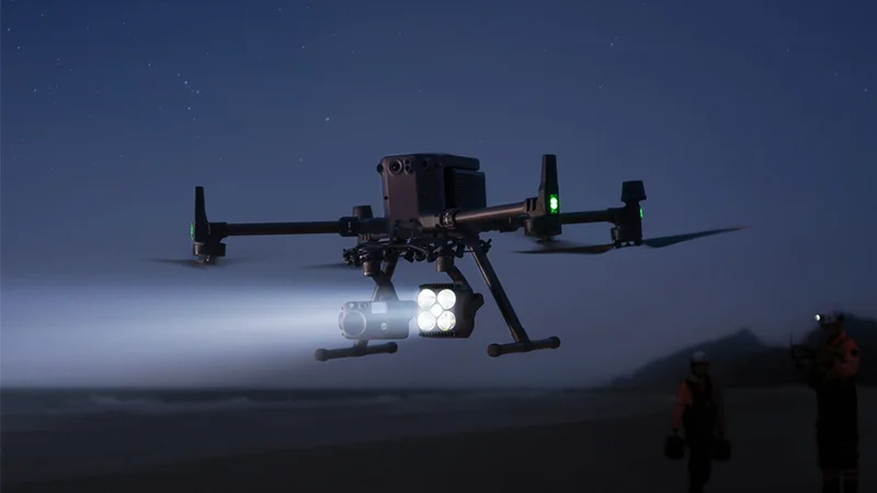
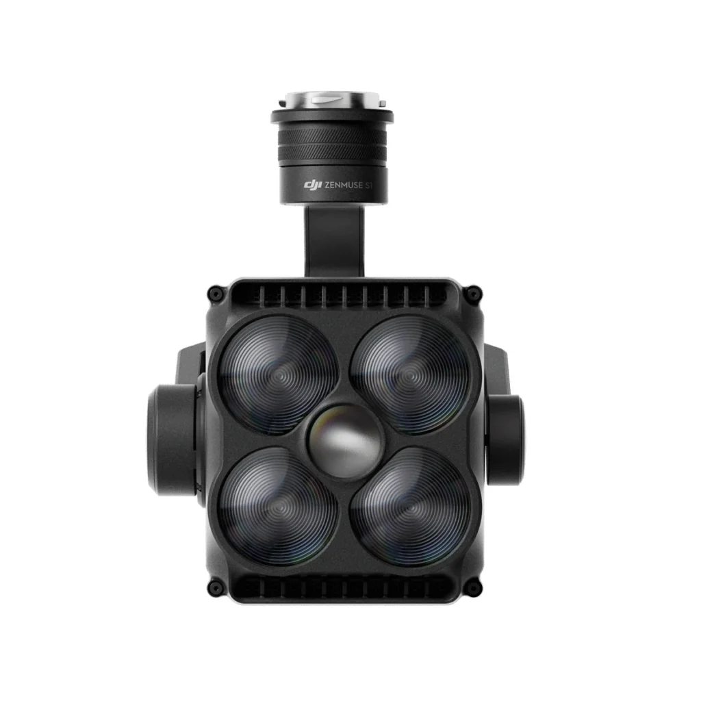
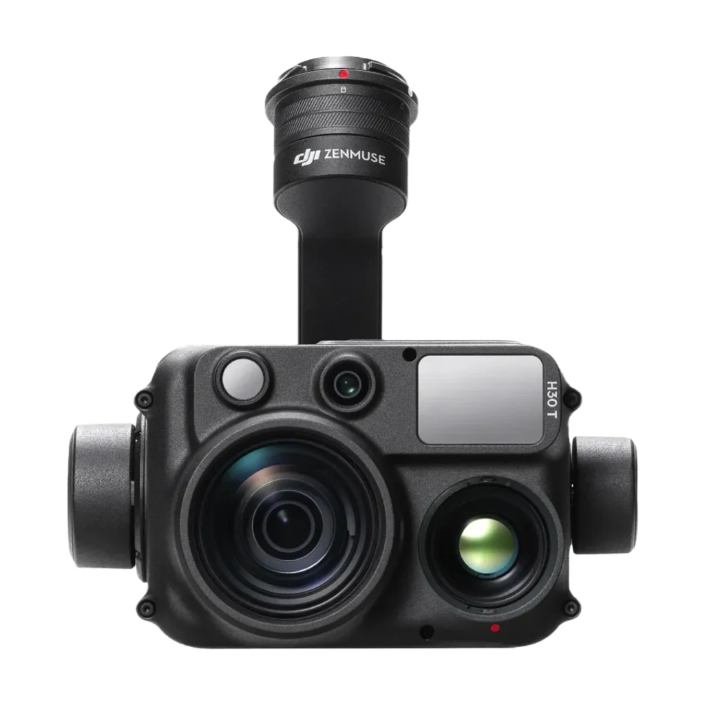
All-Weather Multi-Sensor 5-in-1 Flagship
A single compact unit combining wide-angle, zoom, infrared thermal, laser rangefinder, and NIR auxiliary light which is an all-in-one intelligence payload for any time of day or weather.
It can be deployed for security surveillance, power infrastructure inspection, oil & gas facility monitoring, and forestry and water management.
Zenmuse H20N
Night Vision Hybrid Payload
Integrates starlight zoom and wide-angle cameras with dual zoom thermal sensors and a laser rangefinder for unmatched performance in low-light and night conditions.
It can be used for border surveillance, maritime security, night-time emergency response, and defence intelligence missions.
Zenmuse S1
DJI’s First Aerial Spotlight DJI’s first LEP (Light Emitting Plasma) aerial spotlight, compatible with Matrice 350 RTK and 300 RTK, delivering high-brightness, long-distance illumination with multiple lighting modes.
It can be used for nighttime search-and-rescue operations, emergency incident scene lighting, port and perimeter security, and marine operations.
Zenmuse V1
DJI’s First Aerial Speaker DJI’s first drone-mounted aerial speaker, supporting live broadcast and pre-recorded messages with high volume and long broadcast range across multiple modes.
It is applied in public safety announcements, emergency evacuations, crowd management, anti-poaching operations, and government communications.