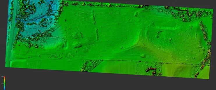
Drones offer great potential for Surveyors and Geographic Information System (GIS) services, providing precise mapping information, and significantly cutting data capture costs and work hours.
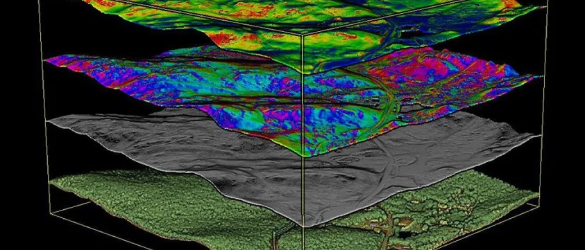
GIS and remote sensing are crucial for understanding Earth’s landscape. It provides vital insights across sectors through advanced data collection, analysis, and visualization, informing our environmental perception, management, and interaction.
Remote sensing serves a spectrum of industries including agriculture, forestry, infrastructure development, oil & gas, construction, mining, disaster management, environmental conservation and more.