Construction Site Monitoring by Drone: Proof, Not Opinion
A contractor reports 60% completion. The consultant walks the site and disagrees. Neither party has evidence, so the argument runs on judgement.
That conversation repeats on Nigerian projects every month. Construction site monitoring by drone ends it, because a dated aerial record does not negotiate.
Why progress reporting stays contested
Site photographs capture whatever the photographer stood in front of. As a result, they show detail without showing context.
Written reports carry the same weakness. A percentage figure reflects an assessment, and different assessors reach different figures honestly.
Meanwhile, valuation, payment and programme decisions all depend on those numbers. So disagreement about progress becomes disagreement about money, which slows projects far more than the underlying work ever does.
What an aerial record actually provides
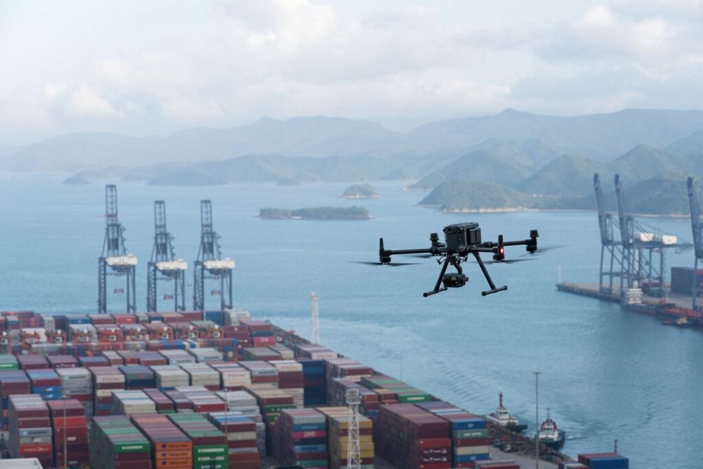
A drone captures the whole site in one pass, from a consistent height, on a repeatable grid.
Flown weekly or monthly, that capture builds into a timeline. You see exactly what existed on each date, across the entire footprint rather than the parts someone photographed.
Two things follow. First, progress becomes measurable rather than debatable. Second, the record survives the project, which matters when claims surface years after handover.
Best-fit DJI platforms for site capture
Platform choice depends on site size and how often you fly.
Mavic 3E suits regular progress capture. It folds into a backpack, launches in under a minute, and delivers strong mapping output. Consequently, one person can capture several sites in a day.
Matrice 4E covers larger developments with faster coverage and greater endurance. Use it where a single site runs to many hectares.
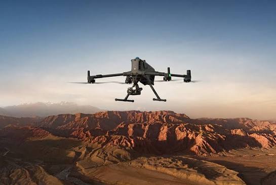
Matrice 350 RTK with Zenmuse P1 handles survey-grade requirements. Its full-frame sensor delivers centimetre-level accuracy with RTK positioning, which matters for earthworks volumes and setting-out verification.
On greenfield sites with heavy vegetation, Zenmuse L2 LiDAR reveals ground surface beneath scrub where photogrammetry cannot reach.
Long programmes and daily capture
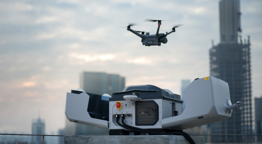
Some projects justify permanent coverage. DJI Dock 3 with the Matrice 4TD flies the same route automatically, every day, with nobody travelling to site.
That approach suits multi-year programmes, remote locations and projects where site security matters alongside progress.
What project teams receive
Under our Drone as a Service model, ARCO Worldwide delivers:
- Orthomosaic maps at each capture date
- Progress timelines comparing one survey against the next
- Earthworks and stockpile volume calculations
- Digital elevation and terrain models
- 3D models and Digital Twins of the site
- As-built documentation against design drawings
- GIS-ready datasets and CAD-compatible exports
Your quantity surveyors, engineers and project managers work from the same record. We manage the aviation.
Where the value lands financially
Three areas usually justify the cost on their own.
Valuation accuracy improves immediately, since interim payments rest on measured progress rather than estimates. Earthworks reconciliation follows, because cut and fill volumes get calculated from a full surface model instead of spot levels.
Claims defence provides the third. A timestamped aerial record answers questions about sequence, access and delay that written correspondence rarely settles cleanly.
Why the standard matters
Flying over an active site involves people, plant and airspace considerations.
ARCO Worldwide is Nigeria’s first licensed commercial drone operator, authorised by the NCAA for nationwide commercial operations. Our data collection and reporting run under ISO 9001:2015 certified workflows.
As Nigeria’s only DJI Enterprise Authorized Reseller and Enterprise Solutions Partner, we match the platform to the site rather than forcing one aircraft across every project. With teams in Lagos, Abuja and Port Harcourt, we mobilise quickly nationwide.
Build the record as you build the project
Nobody creates a progress archive retrospectively. Either the capture happened, or the evidence does not exist.
Regular construction site monitoring builds that record while the work proceeds. It costs a fraction of a single disputed claim, and it removes the argument before it starts.
Ready to put your project on record? Talk to ARCO Worldwide today.