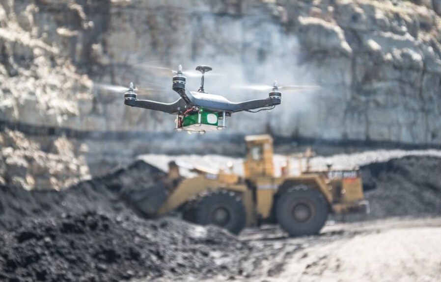
On a mine site in Iperindo, Osun State, a surveyor once spent days walking a stockpile with a GPS rover. He climbed loose material under a hard sun, recorded point after point by hand, and still came back with gaps in the data. Today, a mining drone survey does the same job in a fraction of the time. A drone lifts off, flies a planned grid across the site, and captures thousands of precise images. Within hours, the team holds a centimetre-accurate 3D model of every pile, pit, and haul road.
Nigeria is betting big on this kind of efficiency. In a recent article from national mining drive, President Bola Tinubu has committed a one-trillion-naira investment package to the solid minerals sector, the largest in the nation’s history, and the sector has drawn more than 2.6 billion dollars in foreign investment in just two years. As operations shift from artisanal digging to large-scale, formal mining, accurate data is no longer optional. Accurate data is the foundation of every serious mining business. And increasingly, that data comes from the air.
Why a Mining Drone Survey Beats the Tape and the Rover
Traditional mine surveying is slow, costly, and risky. A ground crew walks the site with GPS equipment, taking measurements one point at a time. On a large or active site, this can take days. It also puts people in danger near unstable stockpiles, steep pit walls, and moving haul trucks. Worse still, the final survey is only as detailed as the handful of points the crew could safely reach.
A mining drone survey removes those limits. One pilot flies the entire site from a safe position on the ground. The drone reaches ground that a crew never could on foot, and it does so in a single short flight. Steep highwalls, flooded pits, and active faces are all captured without a single person stepping into harm’s way. What once took days now takes hours, and the result is far more complete.
From Photos to Volumes: The Intelligence Behind the Data
Capturing images is only the start. The real value comes from what happens next.
Specialised software stitches the drone’s images into a dense 3D point cloud and a precise digital model of the site. From that model, the system calculates stockpile volumes, pit depths, and surface areas in minutes. With RTK positioning, the accuracy narrows to a few centimetres, which is more than enough for reserve estimates, monthly reconciliation, and payment disputes. The right equipment matters here. A survey-grade platform such as the DJI Matrice 350 RTK, paired with a high-resolution Zenmuse P1 photogrammetry payload, produces the clean data these calculations depend on. For sites with heavy vegetation, a LiDAR payload like the Zenmuse L2 sees through the canopy to map the true ground surface beneath.
The outputs are practical and ready to use. A single flight can produce a high-resolution orthomosaic map of the whole site, a digital terrain model, contour lines, and a clear volume report for every stockpile. Survey teams import this straight into the planning and design tools they already use, so the data flows into the next decision without delay. Instead of waiting days for a partial picture, managers receive a complete one the same afternoon.
Because a mining drone survey is fast and repeatable, a site can fly the same ground week after week. Managers then track how stockpiles grow and shrink over time, compare planned progress against actual extraction, and catch problems early. The survey stops being a one-off snapshot and becomes a living record of the whole operation.
Safer Sites and Stronger Compliance
Safety is where drones earn their keep fastest. Nigeria’s mining reforms place a clear emphasis on safe, responsible operations, and aerial surveys support that goal directly. By keeping surveyors away from pit edges and unstable ground, a mine removes one of its most common sources of injury.
The same data also strengthens compliance. A drone survey documents the exact state of a site at any moment, which helps operators report accurately to regulators and prove they are working within their licence boundaries. Beyond the pit, drones monitor tailings dams, track erosion, and map the wider environmental footprint of a site. As authorities tighten their oversight of the sector, that evidence becomes a genuine commercial advantage.
A Nigerian Capability for Nigeria’s Mining Moment
For too long, advanced survey technology has reached Nigerian sites slowly, if at all. Yet the opportunities facing the sector are immediate. A formal, fast-growing mining industry needs survey data it can trust, delivered by operators who understand the local terrain and the local rules.
This is the principle behind ARCO Worldwide. As Nigeria’s DJI Enterprise Authorized Partner, the company delivers drone survey and mapping across mining, construction, and heavy industry. From volumetric stockpile measurement and pit mapping to terrain modelling and environmental monitoring, a mining drone survey from ARCO gives operators the accurate, current data that modern mining demands.
Nigeria has set out to build a mining sector that can stand beside oil and gas. Reaching that goal will take more than capital. It will take precision, safety, and trustworthy data at every step. The drone has become one of the most powerful tools for delivering all three.
The question for operators across Africa is no longer whether aerial survey belongs on the mine site. It is how soon they put it to work, and whom they trust to fly it.
Are you planning a mining drone survey for your site? Get in touch with ARCO Worldwide.
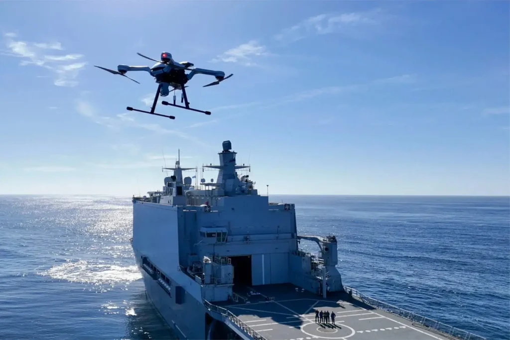
This is not a forecast of the future. It is the working reality for Nigeria’s most progressive operators. And it signals a fundamental shift in how the nation inspects its critical assets and secures its territorial waters.