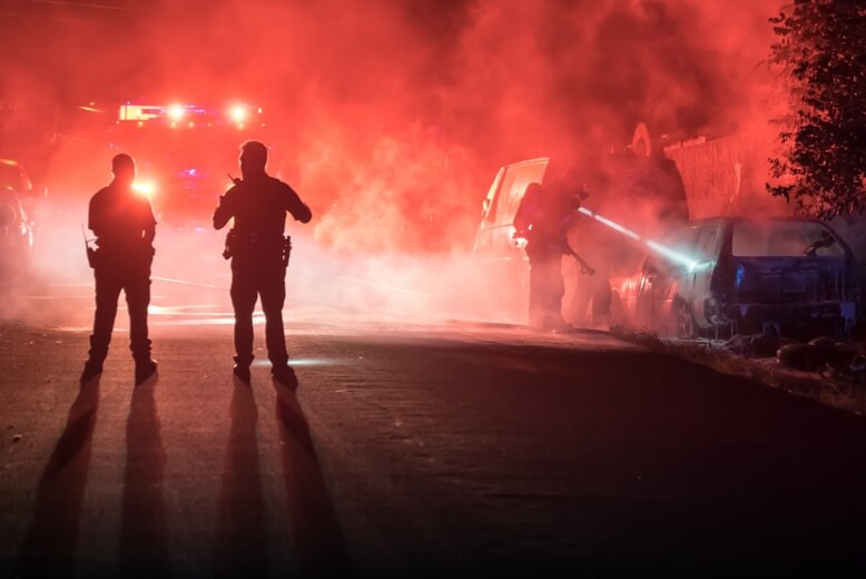
Public safety decisions get made early, under pressure, with incomplete information. The first commander on scene usually knows less than anyone else will know an hour later.
That gap is where avoidable mistakes live. Drones for public safety narrow it by putting an overhead view in front of decision makers before units arrive.
What ground-level information leaves out
A patrol vehicle sees a street. A control room sees a report.
Neither sees the shape of a situation. How large is the crowd actually. Which routes are blocked. Where are the exits and the pinch points. How far has a fire spread beyond what the caller described.
Consequently, resources get committed against an impression. Some incidents receive more than they need, and others receive less, because nobody could see the whole scene when the decision was taken.
What an overhead view changes
A drone reaches altitude in seconds and transmits live.
Crowd density becomes visible rather than estimated. Access and egress routes show clearly. A fire’s extent and direction become apparent, including exposure to adjacent structures. In a search, thermal imaging covers ground that would take a line of searchers hours.
In addition, everything recorded becomes documentation. Post-incident review rests on footage rather than recollection, which matters for accountability as much as for learning.
Where agencies apply it
Several operational contexts recur.
Crowd and event management. Religious gatherings, sporting events, markets and public celebrations all benefit from density monitoring and route observation.
Incident response. Fires, collapses, road incidents and industrial events need extent assessment before resources commit.
Search operations. Thermal detection locates people across open ground, bush and water margins, including at night.
Traffic and route management. Live observation of congestion and diversion effectiveness supports faster clearance.
Post-incident documentation. Scene recording for investigation, reporting and insurance.
Best-fit DJI platform: Matrice 4T
For public safety work, the strongest fit in the DJI Enterprise range is the Matrice 4T.
Deployment speed outweighs every other specification here. It launches within minutes from a vehicle, carries thermal alongside wide and tele cameras, and transmits live to a command position.
Thermal matters across all of it. People, vehicles and fire fronts all register clearly, including in darkness and through smoke that defeats visual observation.
For extended operations, the Matrice 350 RTK with the Zenmuse H30T adds endurance, stronger zoom and higher-grade thermal capability.
Where a fixed location needs standing coverage, DJI Dock 3 with the Matrice 4TD launches automatically on alarm and reaches the scene without a crew travelling.
What command teams receive
Under our Drone as a Service model, ARCO Worldwide delivers:
- Live aerial video to command during active operations
- Crowd density and movement assessment
- Incident extent mapping with structural exposure
- Thermal search support across open and difficult ground
- Route, access and congestion analysis
- Scene documentation with timestamped imagery
- Post-incident mapping for investigation and reporting
Your commanders retain the decision. Aerial data widens what informs it.
Operating responsibly
Aerial capability over public spaces carries obligations, and agencies should expect a provider to raise them unprompted.
Operations require NCAA authorisation and airspace coordination, particularly in urban areas and near aerodromes. Data handling needs defined retention, access control and purpose limitation. Emergency airspace involves helicopters and multiple agencies, so deconfliction is procedural rather than improvised.
ARCO Worldwide is Nigeria’s first licensed commercial drone operator, authorised by the NCAA and approved by the Office of the National Security Adviser, operating under ISO 9001:2015 certified processes with encrypted transmission and audit-ready records.
Capability or service
Some agencies want the capability internally, and we support that through ARCO Aviation Academy, Nigeria’s first NCAA-licensed drone training institution.
Others need the outcome without building a unit. Our Drone as a Service model provides crews, aircraft and approvals on call, with more than 15,000 flight hours behind it and bases in Lagos, Abuja and Port Harcourt.
Decide with more than a report
The first few minutes of an incident shape everything after them.
Drones for public safety put a current, complete picture into those minutes, so commanders commit resources against what is actually happening.
Ready to build aerial support into your operations? Talk to ARCO Worldwide today.