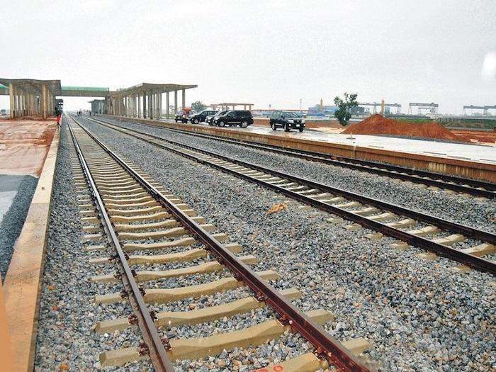
Most fibre overruns do not begin on site. They begin on a desk, where a route was drawn across terrain nobody had actually looked at.
The crew then discovers the ground the hard way. A fibre route survey flown before construction replaces that discovery with planning.
Where rollout budgets actually leak
Telecom construction rarely fails on engineering. It fails on surprises.
A planned alignment crosses a gully that no map showed. A right of way turns out to be occupied. A river crossing needs a different method than assumed. Rock appears where soft ground was budgeted.
Each surprise triggers a redesign, a remobilisation, or a negotiation. Consequently, the schedule slips and the cost moves, usually in the same direction.
Ground survey would catch most of this. However, walking hundreds of kilometres of proposed route is slow, and that cost often pushes teams to survey selectively instead.
What aerial capture provides before construction
A drone flies the proposed corridor and records it completely.
You receive current imagery rather than archived satellite data of uncertain date. More importantly, you receive measurable terrain: elevation, slope, drainage and obstacles, all georeferenced.
Because the capture is continuous, the alignment can be tested against real ground before anyone commits to it. Alternative routes get compared on evidence rather than assumption.
In addition, the same dataset documents pre-construction condition, which matters when landowners raise claims later.
Best-fit platforms and payloads
Payload choice follow the terrain.
Matrice 350 RTK with Zenmuse P1 delivers survey-grade photogrammetry. The full-frame sensor produces centimetre-level accuracy with RTK positioning, which suits open corridors, urban alignments and detailed planning.
Zenmuse L2 handles LiDAR, and this is where vegetated routes change the answer. Laser returns penetrate canopy and undergrowth, revealing the ground surface beneath. Photogrammetry simply cannot do that, and much of Nigeria’s intercity routing runs through exactly that cover.
Matrice 400 extends coverage across long corridors in a single flight, reducing launch points and access trips along dispersed alignments.
Mavic 3E suits compact work: individual site assessments, access checks and quick repeat capture.
Site feasibility and new builds
The same capability supports tower and base station siting.
A candidate site can be assessed for access, terrain, line of sight and surrounding obstructions before a team visits. Several options get compared from the office, so only the shortlist requires a site trip.
Therefore the survey reduces not just construction risk but acquisition effort.
What rollout teams receive
Under our Drone as a Service model, ARCO Worldwide delivers:
- Orthomosaic corridor maps at high resolution
- Digital elevation and digital terrain models along the route
- LiDAR point clouds for vegetated and obstructed sections
- Right-of-way condition and occupancy documentation
- Obstacle and crossing identification with location detail
- Alternative route comparison data
- Site feasibility assessment for towers and base stations
- GIS-ready datasets and CAD-compatible exports
Your planning and construction teams work from one current record. We manage the aviation.
After the build, the same data keeps working
A corridor captured once becomes a baseline.
Repeat capture during construction tracks progress against plan. After commissioning, the same flight path documents right-of-way encroachment, erosion near buried routes and vegetation growth over aerial spans.
Consequently, one investment serves planning, construction monitoring and ongoing asset management.
Why the operator matters
Corridor work crosses roads, communities and sometimes controlled airspace, so authorisation and coordination are prerequisites rather than formalities.
ARCO Worldwide is Nigeria’s first licensed commercial drone operator, authorised by the NCAA for nationwide commercial operations and approved by the Office of the National Security Adviser. Our data collection and processing run under ISO 9001:2015 certified workflows.
As Nigeria’s only DJI Enterprise Authorized Reseller and Enterprise Solutions Partner, we match the payload to the terrain rather than applying one sensor to every route. With bases in Lagos, Abuja and Port Harcourt, we mobilise along corridors nationwide.
Survey is cheaper than redesign
Every rollout programme carries a contingency for the unexpected. Much of what it covers was knowable in advance.
A fibre route survey flown before construction turns those unknowns into planning inputs, and it costs a fraction of the remobilisation it prevents.
Ready to survey your next route? Talk to ARCO Worldwide today.