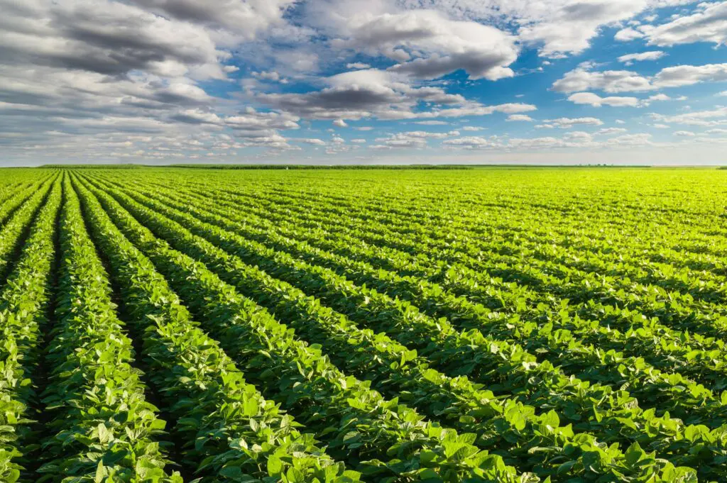
By the time a crop looks unhealthy from the edge of a field, the yield has already gone.
Visible symptoms arrive late. Leaves yellow, growth stalls, and the damage is done before anyone walks the rows. Precision agriculture in Nigeria works by catching that decline earlier, while intervention still changes the outcome.
Why walking the field is not enough
A farm manager can inspect what is reachable. On a large holding, that is a small fraction.
Field edges get checked most and field centres least. Consequently, problems that start away from a track grow unnoticed. Even careful scouting samples points rather than covering ground.
Scale makes it worse. Hundreds of hectares cannot be assessed consistently on foot, and uneven performance across a block is exactly what needs measuring.
What multispectral imaging detects
Healthy vegetation reflects light differently from stressed vegetation, and that difference appears before symptoms do.
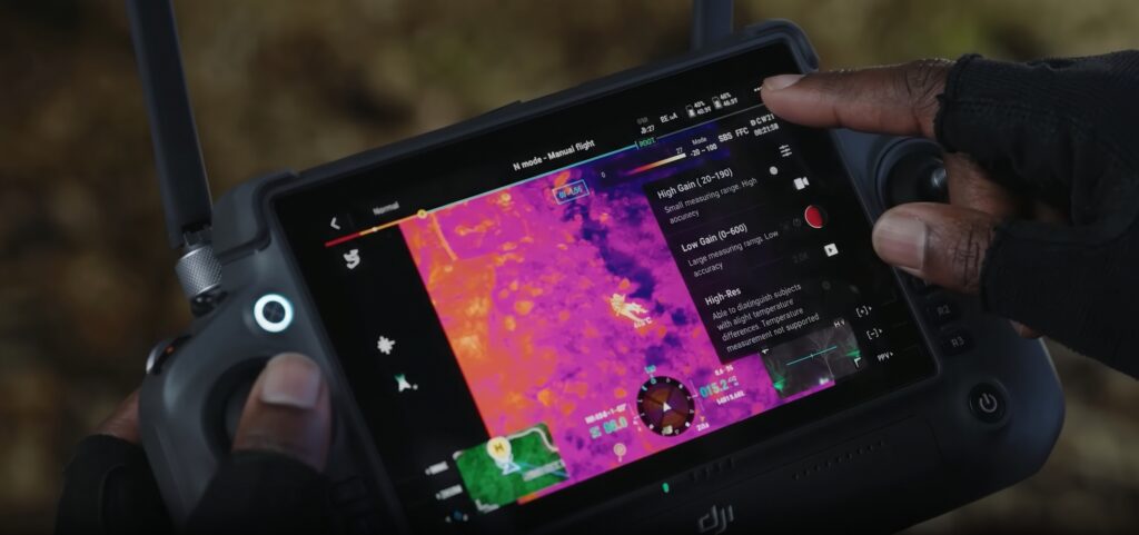
Multispectral sensors capture bands beyond visible light, including near-infrared. Software then converts those bands into indices such as NDVI and NDRE, which map plant vigour across the whole field.
Therefore a map shows where the crop is thriving and where it is struggling, in gradations rather than impressions. Water stress, nutrient deficiency, pest pressure and disease all register, often days or weeks before a walk-through would reveal them.
Best-fit platforms and payloads
Sensor choice follows the question being asked.
Mavic 3M carries multispectral bands alongside an RGB camera. It launches in under a minute and suits regular repeat capture across farms of moderate size.
Matrice 350 RTK handles larger holdings, carrying payloads with greater endurance and accuracy. For mapping and plant counting, Zenmuse P1 delivers high-resolution photogrammetry.
Zenmuse L2 adds LiDAR where terrain and drainage matter, modelling field surfaces and water movement beneath canopy.
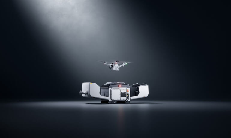
For plantations and large estates that need monitoring rather than surveying, DJI Dock 3 with the Matrice 4TD flies automated routes on a schedule and flags change since the last pass.
What the data actually drives
Imagery alone changes nothing. Decisions do.
Variable rate application comes first. Instead of treating a whole field identically, you apply fertiliser, water or crop protection where the map shows need. So input costs fall while effect improves.
Irrigation assessment follows. Moisture patterns reveal blocked lines, uneven coverage and areas drying faster than neighbours.
Early intervention matters most. A pest outbreak or disease pocket caught at the edge of a block is a localised problem. Caught three weeks later, it is a field-wide one.
Yield forecasting then builds across the season. Repeat capture produces a trajectory rather than a snapshot, which buyers, storage providers and lenders can plan around.
What agribusinesses receive
Under our Drone as a Service model, ARCO Worldwide delivers:
- NDVI and NDRE crop health maps across the full holding
- Early crop-stress warning with location detail
- Irrigation and moisture pattern assessment
- Pest and disease pressure mapping
- Variable rate prescription maps for application equipment
- Plant counting and stand assessment
- Season-long comparison and yield forecasting support
Your agronomists receive maps they can act on. We manage the aviation.
Who uses it
Large commercial farms and agribusinesses lead, since scale is where the economics work hardest.
Agricultural development programmes use it to measure outcomes across scheme areas. Commodity boards and cooperatives monitor production across growing regions. Insurers and lenders need reliable field assessment for cover and credit decisions.
Research institutions also rely on repeatable, controlled capture for trials and agronomic studies.
Why the standard matters
Agricultural data informs money decisions, so collection method matters as much as the sensor.
ARCO Worldwide is Nigeria’s first licensed commercial drone operator, authorised by the NCAA for nationwide operations, with data collection and processing under ISO 9001:2015 certified workflows. Our pilots train through ARCO Aviation Academy.
As Nigeria’s only DJI Enterprise Authorized Reseller and Enterprise Solutions Partner, we match the sensor to the crop and the question rather than applying one method everywhere.
Act while it still matters
Every lost harvest contains a moment when the problem was small and nobody could see it.
Precision agriculture in Nigeria narrows that window. It finds stress while intervention is cheap, and turns a season of guesswork into a sequence of informed decisions.
Ready to map your fields this season? Talk to ARCO Worldwide today.