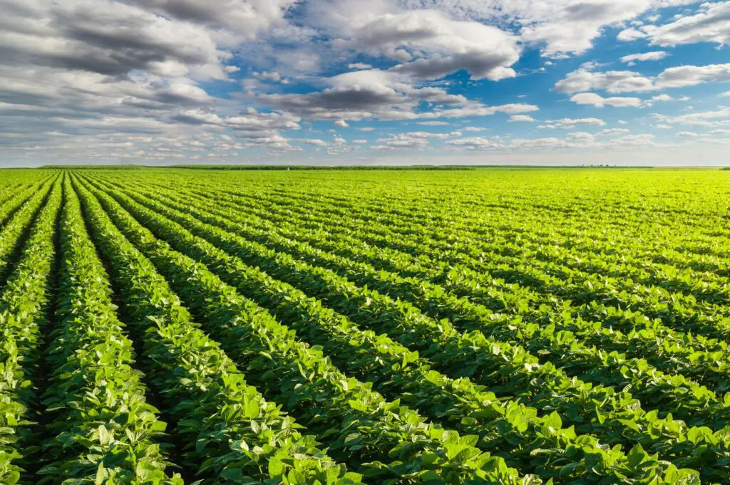
Ajose Oluwaseun had built a life around a vegetable farm in Epe, Lagos State. Tomatoes and habanero peppers, cultivated with roughly forty million naira of investment. On June 25th this year, heavy rain flooded his farmland completely, and the entire crop went under in a single night. There was no partial version of that loss to manage. It was simply gone.
Not every loss arrives that suddenly, though. According to World Bank analysis of Nigerian household survey data, partial crop losses, plants damaged or yields reduced without total destruction, have more than tripled in five years, climbing from roughly 6 percent of cultivated plots in 2018/19 to over 20 percent by 2023/24. That’s the loss category crop health monitoring Nigeria farms most urgently need, because partial damage is exactly the kind of problem that’s still possible to catch in time.
Why “Partial” Is the Loss Worth Fighting For
Total crop failure, like what happened in Epe, is often driven by a single catastrophic event. Flooding, in particular, can submerge a farm before anyone has a chance to respond. Partial loss works differently. It builds gradually, through water stress, pest pressure, and disease that spreads across a field over days or weeks, not hours.
That gradual timeline is the opportunity. A stressed plant usually shows signs before it dies entirely, changes in canopy reflectance, early wilting, uneven growth across a plot. Catch those signs early enough, and a farm can intervene before partial damage becomes the kind of total loss nobody can walk back.
Why Ground-Level Monitoring Misses So Much
The trouble is how hard those early signs are to see from the ground. A farmer walking a field notices visible wilting or damage, but by the time a problem is visible to the eye, it’s often already advanced past the point where early intervention helps most. Large farms compound this further. Walking every hectare regularly simply isn’t realistic, especially for the smallholder farmers who make up more than 70 percent of Nigeria’s food output.
Rising insecurity across major farming regions makes this worse still. Conflict now contributes to roughly a fifth of Nigeria’s total crop losses, and in areas where movement itself carries risk, regular ground-based field walks become harder to justify, let alone perform consistently.
What Aerial Monitoring Sees That the Eye Doesn’t
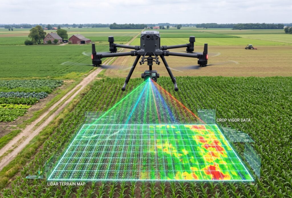
This is where multispectral aerial monitoring changes what’s detectable, and when. Flown on a platform like the DJI Matrice 350 RTK, a multispectral sensor captures crop health data invisible to the naked eye, measuring plant reflectance to flag water stress, nutrient deficiency, and early pest or disease pressure well before visible symptoms appear. NDVI analysis turns that data into a clear map of exactly which sections of a field are struggling, rather than a farmer’s general impression of “the crop looks off.”
For larger commercial farms and cooperatives covering wide growing areas, the DJI Matrice 400 extends that same monitoring across greater distances in a single flight, so a stressed section on one edge of a large holding doesn’t go unnoticed simply because it’s far from where anyone happened to walk that week.
From a Single Flight to a Season-Long Picture
One flight flags a problem. Monitoring across a growing season builds something more valuable: a running picture of how a crop is actually performing, week over week, that lets a farm intervene early and consistently rather than reacting only once damage is already visible.
That shift matters most for the farms operating closest to the margin, where forty million naira, or far smaller sums that still represent someone’s full investment, can disappear without warning if a treatable problem goes unseen for too long.
Built for the Standard This Work Demands
ARCO Worldwide empowers agricultural operators and agribusinesses with precision aerial intelligence and data-driven solutions. Our multispectral sensors deliver NDVI, NDRE and crop health indices across diverse crop types and regions. Those outputs then integrate with farm management software and GIS platforms, so insight flows into the systems a business already uses. Every crop health mapping survey is flown by pilots trained in agricultural operations and certified through the ARCO Aviation Academy, and our data collection and processing follow ISO 9001:2015 certified workflows. In short, we pair aerial intelligence with standards a commercial operation can depend on.
The Loss That Was Still Preventable
Some losses, like a flooded farm overnight, are hard to prevent no matter how closely anyone is watching. Most partial losses aren’t in that category. They build slowly enough to catch, if someone is actually looking in time.
That’s the difference aerial crop monitoring makes, one flight, one field, one early warning at a time.
Ready to protect your season’s yield? Talk to ARCO Worldwide today.