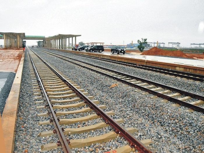
Section two of the Lagos-Calabar Coastal Highway is roughly 70 percent complete. Sections 3A and 3B sit closer to 30 percent. Section one is already finished and open to traffic. Those numbers come from the Minister of Works himself. He delivered them during site inspections, across a project that now runs active construction through five states at once.
Numbers like that are hard to verify from a helicopter fly-past or a single site visit. Across 700 kilometres and nine states, highway construction monitoring Nigeria needs for a project this size has to match the project’s actual scale. It can’t just spot-check a handful of sections and extrapolate from there.
A Project Too Large for Traditional Oversight
The coastal highway is Nigeria’s largest infrastructure undertaking in years. It’s an $11 to $12.5 billion corridor connecting Lagos to Calabar through Ogun, Ondo, Edo, Delta, Bayelsa, Rivers, Akwa Ibom, and Cross River. Different sections move at different speeds. Different contractors and financing arrangements manage each one, including international backers like Deutsche Bank and the Development Bank of Southern Africa.
That structure creates a real oversight challenge. The parties building the project, and the officials touring it, generate most progress reporting. That’s useful information. But it isn’t independently verified data that financiers, regulators, or the public can check against the ground itself.
What Independent Verification Actually Requires
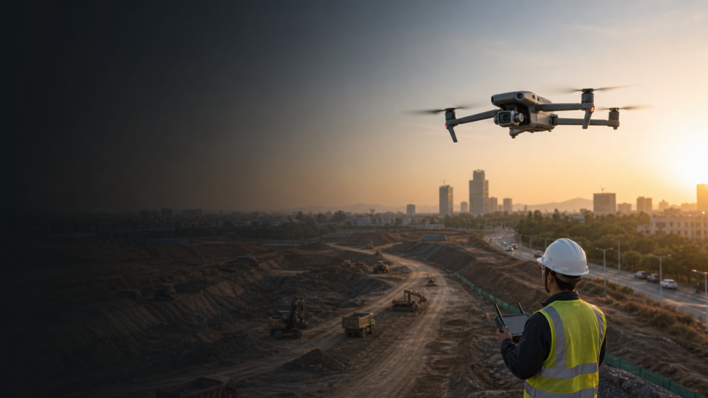
Photogrammetry and precision mapping close that gap directly. A platform like the DJI Matrice 350 RTK flies high-accuracy aerial surveys that measure exactly how much of a given section has been graded, paved, or completed. That turns a minister’s site visit into a verifiable, located dataset instead of a spoken estimate.
This capability matters just as much for the engineering challenges already reshaping the project. Deep peat deposits, in places 40 to 50 metres down, forced a route realignment earlier this year. Geotechnical studies revealed soil conditions the original plan hadn’t accounted for. Regular aerial survey data, tracked consistently across a corridor this long, catches exactly this kind of ground condition and construction discrepancy long before it becomes a costly redesign.
The Damage Happening Before the Road Is Even Finished
Progress isn’t the only thing worth watching along this corridor. Even sections still under construction have already drawn complaints of vandalism. People have cut metal fences and dumped refuse directly into maintenance holes along completed stretches. That’s real, ongoing damage to infrastructure that hasn’t even opened to full traffic yet.
A 700-kilometre corridor is simply too long to guard end to end with fixed personnel. The DJI Matrice 400, paired with the Zenmuse H30T payload, extends coverage across long stretches of finished road in a single flight. It spots fence damage, illegal dumping, and unauthorised access well before any of it compounds into a larger maintenance problem.
From One Inspection to a Running Record
A single flight verifies progress on the day it happens. Repeated, scheduled aerial surveys build something more valuable over the life of the project. They create a consistent, comparable record of how each section has actually advanced, month over month, against what’s being reported.
That record matters to more than one audience. Financiers backing the project want assurance their capital is funding real, measurable progress. Regulators and the public want confidence that a project this expensive is being built, and protected, the way officials describe it.
Built for the Standard This Work Demands
ARCO Worldwide is Nigeria’s first licensed commercial drone operator, authorised by the NCAA. We also run our operations under ISO 9001:2015 certified standards. As Nigeria’s authorised DJI Enterprise reseller, we bring the exact survey and monitoring capability a project of this scale actually requires, not a reduced version of it.
Seventy Percent, Verified
A completion figure is only as trustworthy as the data behind it. At 700 kilometres and nine states, that data has to come from somewhere more consistent than a single inspection tour.
That’s the gap aerial monitoring closes, one section, one flight, one verified figure at a time.
Need independent progress verification or corridor security for a major infrastructure project? Talk to ARCO Worldwide today.