Oil Spill Detection From the Air: Faster Response, Better Evidence
A release into a creek spreads with the tide. By the time someone reports it, the affected area has already multiplied.
Response then begins without anyone knowing the true extent. Oil spill detection from the air changes both halves of that problem, because it finds releases earlier and documents them properly.
Why ground reporting arrives late
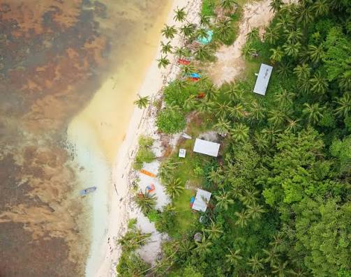
Niger Delta terrain resists observation.
Creeks branch endlessly. Mangrove blocks sightlines. Many locations require a boat, and some require several hours of travel. Consequently, a release can continue unnoticed while the environment absorbs it.
Reports do arrive eventually, though rarely with detail. A community reports contamination, but nobody can state the source, the extent or the timing with confidence. So response teams mobilise into uncertainty, and disputes follow later about what actually happened.
What aerial capture adds
A drone covers water and mangrove without needing a route through either.
From above, a slick’s extent becomes visible and measurable. Thermal contrast often reveals hydrocarbon on water where the visual difference is slight. Meanwhile, multispectral imaging detects vegetation stress, which frequently shows contamination before ground symptoms become obvious.
Two outcomes follow. Response gets directed accurately, and the event gets documented while conditions still reflect it.
Best-fit DJI platform: Matrice 350 RTK with Zenmuse H30T
For detection and response, the strongest fit in the DJI Enterprise range is the Matrice 350 RTK paired with the Zenmuse H30T.
Its 34x optical zoom inspects a release point from a safe distance, which matters when access is unsafe or restricted. Thermal imaging adds the contrast that identifies hydrocarbon spread across water. The laser rangefinder then records exact distances, so findings carry location detail rather than approximation.
Endurance matters here as much as sensors. Creek systems are large, and a single sortie needs to cover meaningful ground.
Vegetation impact and mapping
Environmental assessment needs a different sensor. The Mavic 3M carries multispectral bands that reveal vegetation stress across mangrove and farmland, which supports impact assessment and remediation tracking.
For terrain and drainage modelling, Zenmuse L2 LiDAR penetrates canopy where photogrammetry cannot.
Where a corridor needs continuous watching, DJI Dock 3 with the Matrice 4TD flies automated routes day and night, flagging change since the previous flight.
What operators and agencies receive
Under our Drone as a Service model, ARCO Worldwide delivers:
- Slick extent mapping with measured area
- Thermal imagery identifying spread across water
- Multispectral assessment of vegetation impact
- High-resolution documentation of the release point
- Change-detection reporting across monitoring flights
- Remediation progress tracking over time
- Timestamped, audit-ready records for regulatory submission
Your HSE and environmental teams receive evidence. We manage the aviation.
Evidence matters as much as speed
Spill events attract scrutiny from regulators, communities and courts.
Aerial records establish extent, timing and progression with imagery nobody needs to interpret from memory. Therefore the same capture that guides response also supports regulatory reporting to bodies such as NESREA, alongside community engagement and remediation verification.
Repeat flights extend that value. Monitoring a remediated site over months demonstrates recovery with documented comparison rather than assertion.
Why the standard matters
Flying over oil and gas assets and affected communities requires genuine authorisation.
ARCO Worldwide is Nigeria’s first licensed commercial drone operator, authorised by the NCAA and approved by the Office of the National Security Adviser. Our data collection and reporting run under ISO 9001:2015 certified processes.
Oil and gas is our deepest sector, with operational experience across the Niger Delta and oil-producing communities. As Nigeria’s only DJI Enterprise Authorized Reseller and Enterprise Solutions Partner, we match the payload to the requirement rather than forcing one sensor across every job.
Find it early, document it properly
Every spill response is judged twice. Once on how quickly it happened, and again on how well it was recorded.
Aerial oil spill detection improves both. It shortens the gap between release and response, and it leaves a record that stands up long after the water clears.
Ready to add aerial monitoring to your response capability? Talk to ARCO Worldwide today.