Every road, bridge, and rail line has a lifespan, and every one of them is ageing. Traffic loads them. Weather erodes them. Time weakens them from within. Left unchecked, a small defect becomes a large one. A large one, in turn, becomes a closure, a cost, or a danger to the public. Inspection is how that risk is managed. Yet the way infrastructure has traditionally been inspected is slow, disruptive, and often hazardous in its own right.
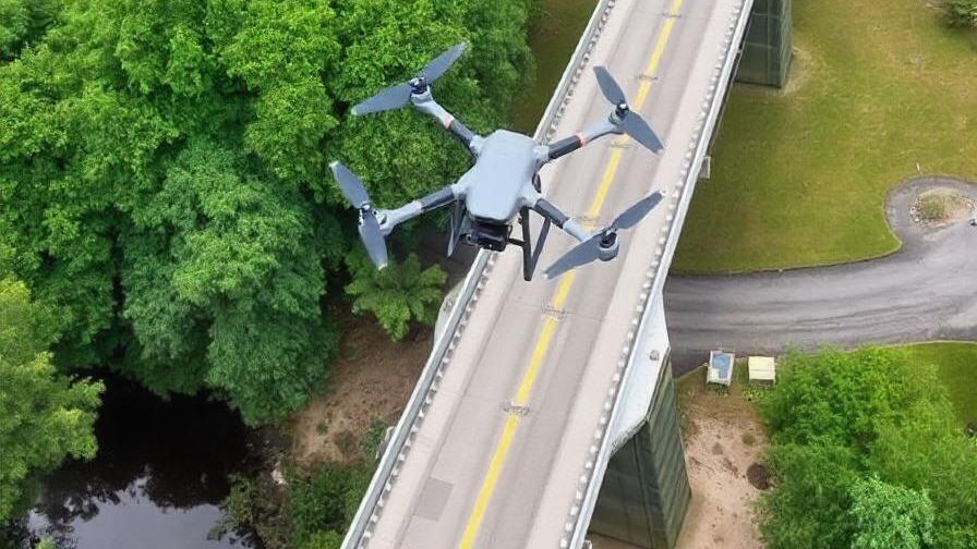
Aerial infrastructure inspection offers a better way. A high-resolution, sensor-equipped drone can cross a structure or corridor and gather richer data in a fraction of the time. It does so without closing a lane, stopping a train, or sending a person into harm’s way. For the agencies and contractors responsible for keeping transport networks safe, it is fast becoming an essential tool.
The Rising Cost of Ageing Infrastructure
Transport infrastructure is expensive to build and expensive to maintain, and the cost of neglect is higher still. A cracked bridge bearing, a scoured foundation, or a length of corroded rail can each escalate from minor to critical if missed. For that reason, regular inspection is not simply good practice. In most networks, it is a legal and safety obligation.
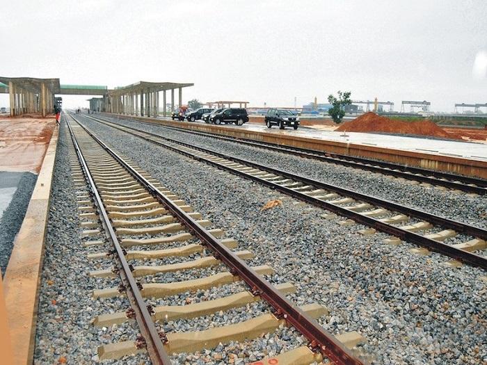
The trouble lies in how that inspection has always been done. Reaching the underside of a bridge demands specialist access equipment or rope teams. Surveying a road often means lane closures and traffic control. Inspecting live rail requires possessions that halt services and expose crews to danger. On top of the cost and disruption, a manual visual check is only as consistent as the inspector performing it. It also captures a single moment rather than a measurable trend. In short, the old method is slow, costly, and hard to repeat reliably.
Aerial Infrastructure Inspection, a Better Method
This is where a capable enterprise platform changes the equation. The DJI Matrice 400 RTK is built for demanding survey and inspection work over large and difficult assets. Paired with a payload such as the Zenmuse H30 series, it brings both high-resolution optical and radiometric thermal imaging to a single flight.
The advantages are immediate. The drone reaches a bridge underside, a tall pier, or a rail viaduct without scaffolding or rope access. It surveys a road or corridor from above, so lanes stay open and services keep running. It also covers long distances quickly. Meanwhile, its RTK positioning ties every image to a precise location. As a result, an aerial infrastructure inspection that once took days of hazardous work can now finish in hours, with nobody placed at risk.
What the Sensors Reveal
The value of an inspection lies in what it detects, and here two forms of sight work together. The optical camera captures fine visual detail, revealing cracks, spalling, corrosion, and the condition of joints and bearings. Its zoom then reads that detail from a safe distance, without any close physical access.
The thermal camera sees what the eye cannot. Temperature differences expose subsurface defects, delamination, water ingress, and trapped moisture. Often, these appear long before they break the surface. Together, the two sensors turn a simple visual survey into a genuine condition assessment. Add photogrammetry or LiDAR, and the same flight also produces an accurate three-dimensional model. That model is useful for measuring geometry, clearances, and change over time.
From Inspection to Condition Reporting
Data is only as valuable as the decisions it supports. This is the heart of data-driven logistics, and it is where aerial infrastructure inspection proves its worth. With GIS mapping, every finding becomes a located, measurable point on an accurate map of the asset, rather than a line in a written report.
That structure changes how a network is managed. Captured regularly, the data feeds operational analytics and infrastructure condition reporting. Owners can then track deterioration across an entire corridor and prioritise maintenance where it matters most. Instead of reacting to failures, they plan against evidence. Ultimately, supply chain visibility improves, because a corridor whose condition is known is a corridor that can be relied upon. That is the real promise of aerial infrastructure inspection.
Built for the Standards a Contract Demands
Infrastructure work carries a high bar, and rightly so. Any provider entrusted with public assets must be proven, compliant, and consistent. This is exactly where ARCO Worldwide is built to deliver.
Our operations hold NCAA authorisation for commercial aerial work. In addition, our delivery is governed by ISO 9001:2015 certified operational standards. We also combine high-resolution optical and thermal payloads with established corridor monitoring and infrastructure inspection capability, and our GIS mapping supports both route planning and full infrastructure documentation. For an agency or contractor preparing a tender, that combination means a partner who can meet the requirement and evidence the result.
A Partner for Road and Rail
Transport networks carry the movement of an entire economy, and their condition is never a small matter. Keeping them safe, open, and reliable calls for inspection that is fast, precise, and repeatable.
ARCO Worldwide equips logistics and transport operators with aerial intelligence and real-time data that strengthen route visibility, infrastructure monitoring, and operational efficiency. As Nigeria’s first DJI Enterprise Authorized Partner, we bring enterprise-grade aerial infrastructure inspection to the roads, bridges, and rail corridors a modern network depends on.
The asset will keep ageing. Yet with the right eyes above it, so will the confidence that it remains safe.
Planning aerial infrastructure inspection for your road or rail network? Get in touch with ARCO Worldwide.