Most farmers see a problem when the leaves turn. Many only measure it at harvest, when nothing can be done. Between those two moments sits the season’s greatest avoidable loss.
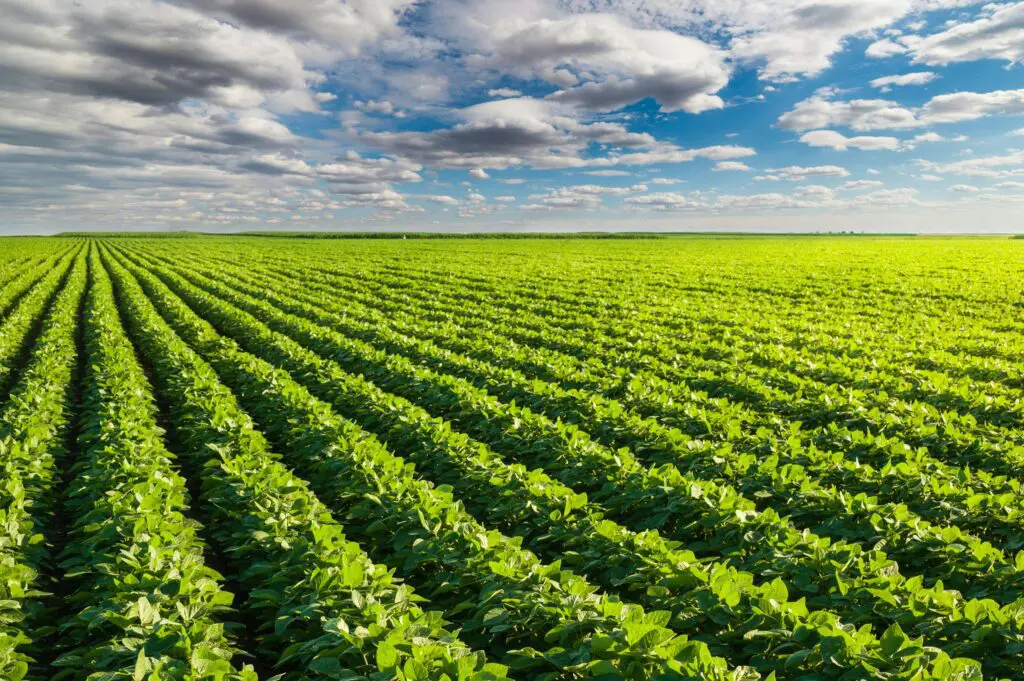
Consider a single corner of a large field. Water is not reaching the roots there. A pest has taken hold, or nutrients are running short. The plants are already struggling, yet nothing about them looks wrong. Weeks pass. Eventually the leaves yellow and the growth stalls, and by then the damage is done. Worse still, that corner is the part of the field nobody walks, so it is often the last place anyone checks.
Crop health mapping closes that gap. From the air, it reveals stress that the human eye cannot detect, and it reveals it while there is still time to act.
The Backbone That Farms Without Data
Agriculture is the backbone of Africa’s economy. Even so, the majority of farmers still work without the real-time field intelligence that could transform their yields and protect their livelihoods.
The reason is simple. A field is large, and a farmer is one person. Walking every row is impossible on a commercial holding, so decisions rest on samples and instinct. Scouting helps, yet scouting is still sampling. A team checks a few points per block, and the edges and awkward sections are exactly what gets missed. Consequently, fertiliser goes on evenly although need is never even. Irrigation runs to a schedule rather than to demand. And an outbreak is usually discovered once it has already spread.
The cost of that blindness is significant. Inputs are wasted where they are not needed, and withheld where they are. Water is used inefficiently in regions that can least afford it. Meanwhile, agribusinesses planning at scale face deeper uncertainty, because forecasting a harvest is difficult when nobody can measure the crop precisely.
Crop Health Mapping and the Light We Cannot See
Plants reveal stress long before they show it. They simply reveal it in light the human eye cannot perceive. A struggling plant reflects near-infrared and red-edge light differently from a healthy one, and that difference appears days or even weeks ahead of any visible symptom.
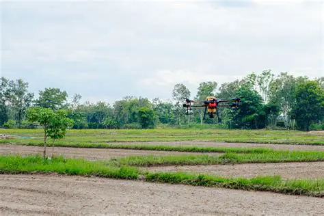
A multispectral survey drone is built to capture exactly that. The DJI Mavic 3 Multispectral pairs a 20-megapixel visual camera with four multispectral sensors covering green, red, red edge, and near-infrared light. From that data, it produces the vegetation indices agronomists rely on. NDVI highlights where plants are under stress. NDRE reads chlorophyll content in the leaf. GNDVI helps assess nitrogen and water status across the canopy. A built-in sunlight sensor then calibrates each flight for the conditions of the day, so surveys flown weeks apart remain genuinely comparable.
Scale is what makes crop health mapping practical. One flight covers up to 200 hectares, and RTK positioning delivers centimetre accuracy without ground control points. In a single morning, therefore, an entire commercial holding becomes a detailed map of its own health, corners included.
From Index Maps to Better Decisions
A map is only useful if it changes what happens next. This is where crop health mapping earns its return, because every index map points to a decision.
Consider irrigation first. Index maps expose where moisture is failing to reach the crop, so water goes where it is needed rather than everywhere at once. Nutrient management follows the same logic. Stress zones become prescription maps, and fertiliser is applied variably instead of uniformly. As a result, input costs fall while yield holds or improves. Pest and disease response changes too. An outbreak shows as a distinct signature well before it is visible from the ground, which allows treatment of a small area rather than a whole field. Ultimately, resource optimisation stops being a slogan and becomes a measurable practice.
Early Warning, Risk and Yield Forecasting
Seasons rarely go entirely to plan. Floods arrive, droughts extend, and a single weather event can reshape a harvest. Crop health mapping gives operators a way to measure that impact rather than estimate it.
Flown after an event, a drone maps exactly how far water spread and which sections of a field were affected. Flown through a dry spell, it tracks stress as it develops across the crop. That evidence carries commercial weight. Insurers need accurate yield loss assessment, and lenders need reliable production forecasts. Regular surveys supply both, as time-stamped, located data rather than an estimate written after the fact. Better still, the record builds season on season, so a farm learns its own patterns and plans against them.
A Partner Built for African Agriculture
Technology alone does not raise a yield. What matters is the quality of the data, and the discipline behind it.
ARCO Worldwide empowers agricultural operators and agribusinesses with precision aerial intelligence and data-driven solutions. Our multispectral sensors deliver NDVI, NDRE and crop health indices across diverse crop types and regions. Those outputs then integrate with farm management software and GIS platforms, so insight flows into the systems a business already uses. Every crop health mapping survey is flown by pilots trained in agricultural operations and certified through the ARCO Aviation Academy, and our data collection and processing follow ISO 9001:2015 certified workflows. In short, we pair aerial intelligence with standards a commercial operation can depend on.
Africa feeds itself through the work of its farmers. Crop health mapping simply gives them what every other industry already takes for granted. It gives them the chance to see a problem early, and to act while it still costs little to fix.
Ready to bring crop health mapping to your farm or agribusiness? Get in touch with ARCO Worldwide.