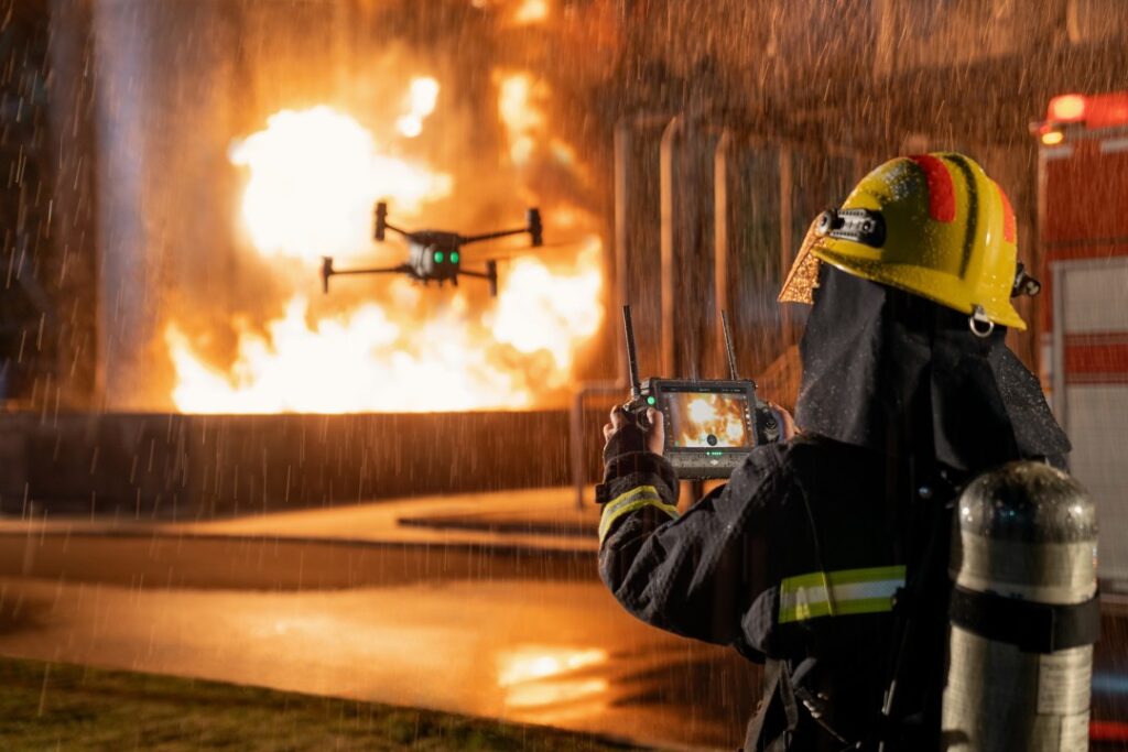
Drone Disaster Response: Assessment When Roads Are Gone
Floodwater takes the roads first. Response teams then face a simple problem: the places needing help most are the places nobody can reach.
Decisions still have to be made. Where does relief go first? Which communities are cut off? Drone disaster response answers those questions while the answers still matter.
Why early assessment decides everything
The first 48 hours shape the entire response.
Agencies must decide where to send boats, supplies and personnel. However, those decisions usually rest on fragmented reports arriving from different places at different times. Some areas get counted twice. Others get missed entirely.
Meanwhile, ground assessment teams cannot move faster than the roads allow. So the information arrives slowly, and it arrives incomplete.
What aerial assessment provides
A drone flies over water rather than through it.
Within hours, responders receive a current map showing flood extent, damaged structures, blocked routes and isolated settlements. Because the capture covers a whole area consistently, nothing depends on who reported what.
That changes the nature of the decision. Instead of estimating need, agencies allocate against a picture of actual conditions.
Best-fit DJI platform: Matrice 4T
For rapid assessment, the strongest fit in the DJI Enterprise range is the Matrice 4T.
It deploys in minutes, which matters more than any other specification during an emergency. Its thermal sensor locates people and livestock in conditions where visual spotting fails, including at night and through smoke. The tele cameras then confirm detail from a distance, so responders identify structures and hazards without approaching them.
Portability completes the case. A team can carry it to a staging point that vehicles cannot pass.
Wider areas and sustained operations
Large-scale events need more endurance. The Matrice 350 RTK with the Zenmuse H30T covers greater distance, flies longer, and delivers stronger zoom and thermal capability for extended operations.
Where flood-prone assets need watching before an event, DJI Dock 3 with the Matrice 4TD monitors automatically. Consequently, agencies see conditions developing rather than discovering them afterwards.
For smaller teams, the Mavic 3T fits in a backpack and launches immediately.
What agencies receive
Under our Drone as a Service model, ARCO Worldwide delivers:
- Flood extent mapping across affected areas
- Damage assessment of structures and infrastructure
- Route and access analysis showing which corridors remain usable
- Thermal search support for locating people and animals
- Live video feed to command during active operations
- Before-and-after comparison where prior survey data exists
- Timestamped records for reporting and recovery planning
Your command team receives current information. We manage the aviation.
Recovery needs the same data
Assessment does not end when the water recedes.
Damage documentation supports compensation, insurance and reconstruction planning. In addition, mapped records help agencies identify which infrastructure failed and where mitigation should focus next season.
That applies beyond flooding too. Fire, storm damage, building collapse and industrial incidents all benefit from immediate aerial assessment.
Why the standard matters in an emergency
Emergency airspace involves helicopters, other agencies and restricted zones. Coordination is not optional.
ARCO Worldwide is Nigeria’s first licensed commercial drone operator, authorised by the NCAA and approved by the Office of the National Security Adviser. Our operations run under ISO 9001:2015 certified processes, and our crews train through ARCO Aviation Academy.
With bases in Lagos, Abuja and Port Harcourt, plus more than 15,000 flight hours and over 70 pilots and crew, we mobilise at short notice nationwide.
See the situation before committing resources
Relief delivered to the wrong place helps nobody, and every misdirected effort costs time that communities do not have.
Drone disaster response replaces estimates with current information, so agencies commit resources where conditions actually demand them.
Ready to build aerial assessment into your response capability? Talk to ARCO Worldwide today.