Drone Mapping for Government: The Baseline Agencies Lack
Most government decisions about land rest on a map older than the situation it describes.
A layout approved a decade ago. A satellite image from an unknown date. A survey sheet inherited from an earlier administration. Meanwhile the ground has changed, and nobody can say precisely how. Drone mapping for government closes that gap at a cost agencies can actually carry.
Why the baseline matters more than the plan
Planning assumes you know the current position. Frequently, that assumption fails first.
Settlements expand into areas recorded as vacant. Drainage routes silt up or get built over. Public assets exist on a register but not on the ground, or exist on the ground but not on any register.
Consequently, policy gets made against conditions that have already moved. Enforcement becomes contested because nobody can prove what existed when. Revenue is lost where development went unrecorded.
None of those are failures of intent. They are failures of evidence.
What aerial capture provides
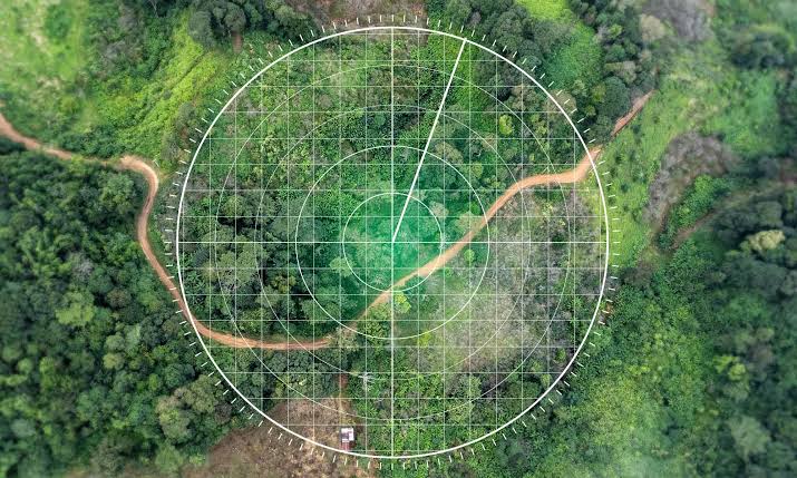
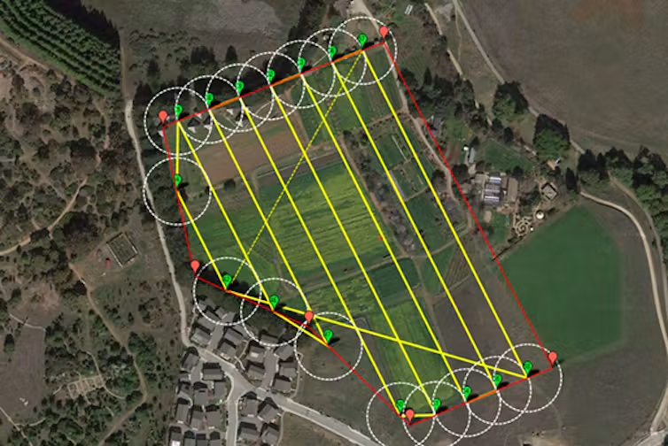
A drone surveys an area on a planned grid and produces a complete, dated record of it.
That record is georeferenced, so measurements come from it directly. It is also repeatable. Fly the same area next year and change becomes a quantity rather than an impression.
For an agency, that converts several recurring arguments into matters of record. What was here in March. How far the development extended. Which plots were occupied at the time of assessment.
Where agencies apply it
Six applications account for most demand.
Land administration. Mapping occupancy, boundaries and development status to support titling, enumeration and revenue.
Urban and regional planning. Current base maps for layouts, zoning decisions and infrastructure siting.
Infrastructure oversight. Road, drainage and public building condition, documented without a site visit per asset.
Asset registers. Establishing what exists, where, and in what condition.
Environmental and land use monitoring. Encroachment, erosion and vegetation change tracked between captures.
Disaster assessment. Rapid mapping after flooding or other events, with before-and-after comparison where prior survey exists.
Best-fit platforms and payloads
Sensor choice follows the question being asked.
Matrice 350 RTK with Zenmuse P1 handles survey-grade photogrammetry. The full-frame sensor delivers centimetre-level accuracy with RTK positioning, which suits land administration, boundary work and infrastructure siting.
Zenmuse L2 adds LiDAR where terrain and drainage matter. Laser returns penetrate vegetation, revealing ground surface beneath canopy that imagery alone cannot see through.
Matrice 4E covers mid-sized areas efficiently, while the Mavic 3E suits compact sites and rapid repeat capture.
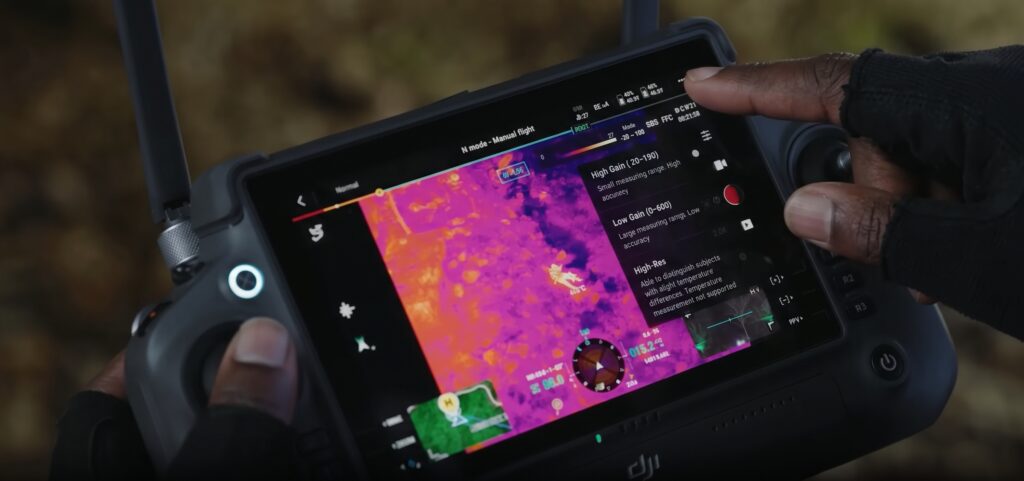
Where a site needs monitoring rather than surveying, DJI Dock 3 with the Matrice 4TD flies automated routes on a schedule and flags change since the previous pass.
What agencies receive
Under our Drone as a Service model, ARCO Worldwide delivers:
- Orthomosaic base maps at high resolution
- Digital elevation and digital terrain models
- Contour maps at your specified interval
- 3D models and Digital Twins of sites and facilities
- Land use and occupancy mapping
- Change-detection reporting between capture dates
- GIS-ready datasets and CAD-compatible exports
Your technical departments receive data that drops into existing systems. We manage the aviation.
Procurement and compliance
Public institutions operate under procurement rules, and a provider has to satisfy them before anything flies.
ARCO Worldwide is Nigeria’s first licensed commercial drone operator, authorised by the NCAA for nationwide operations and approved by the Office of the National Security Adviser. Our data collection and reporting run under ISO 9001:2015 certified processes, which supports BPP-compliant submissions and institutional due diligence.
As Nigeria’s only DJI Enterprise Authorized Reseller and Enterprise Solutions Partner, we match the sensor to the mandate rather than applying one method to every request. With bases in Lagos, Abuja and Port Harcourt, we support agencies at federal and state level.
Build the record once
Aerial survey is usually cheaper than the dispute it prevents, and considerably cheaper than planning against conditions that no longer hold.
Drone mapping for government establishes a current baseline, documents it defensibly, and makes the next capture a comparison rather than a fresh start.
Ready to establish a baseline for your agency? Talk to ARCO Worldwide today.