Questions raised repeatedly by security formations, infrastructure operators and agency planners across Nigeria and West Africa. Direct answers, and the platform behind each capability.
How do we watch a stretch no patrol can hold?
You stop thinking in patrols and start thinking in coverage.
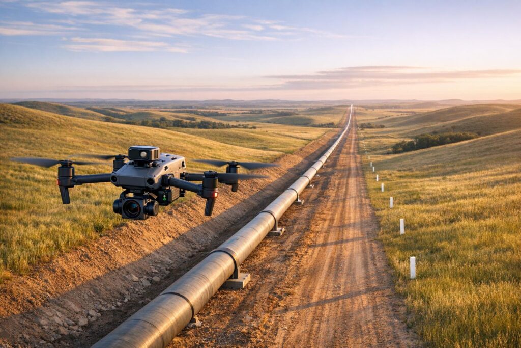
An aircraft at altitude sees ground that would occupy several teams. The Matrice 350 RTK with the Zenmuse H30T combines 34x zoom, thermal, laser ranging and an NIR auxiliary light, so detection and identification happen in the same sortie.
For long borders and dispersed lines, the Matrice 400 extends range considerably, reducing launch points and logistics along the route.
What actually works at night?
Thermal, because it reads heat rather than light.
A person in complete darkness registers against cooler ground. A vehicle parked an hour ago still shows engine warmth. Disturbed earth and running generators carry signatures that concealment does not remove.
Thermal also penetrates smoke, haze and light vegetation far better than visual sensors do.
Can we keep a perimeter watched without a night crew?
Yes, and this is where the economics change.
DJI Dock 3 with the Matrice 4TD flies scheduled patrols through the night from an unmanned position. The dock holds an IP56 rating, the aircraft IP55, operating from -30°C to 50°C. Take-off happens in roughly ten seconds, so an alarm produces aerial verification within minutes.
How far can we legally fly beyond visual range?
That depends on authorisation, not aircraft capability — and it is the question most providers avoid.
Borders, corridors and wide-area monitoring cannot be conducted within visual line of sight. Flying beyond it legally requires NCAA authorisation, documented procedure and qualified crews.
ARCO Worldwide is Nigeria’s first licensed commercial drone operator, authorised by the NCAA and approved by the Office of the National Security Adviser, with BVLOS-capable operations under ISO 9001:2015 certified processes.
What about remote or signal-challenged areas?
Transmission range and automated routing both matter here.
The DJI Dock 3 connects back to base over a link reaching up to 25 kilometres. Through DJI FlightHub 2, automated routes detect vehicles, vessels and infrared temperature anomalies without anyone watching a live feed.
So coverage does not depend on continuous human monitoring of a screen.
Can aerial assets reach an incident before ground units?
Usually, yes, because an aircraft ignores road conditions entirely.
The DJI Matrice 4T deploys in minutes from a vehicle and transmits live to a command position. Command receives a current picture of extent, access and exposure while units are still moving, which changes what those units know on arrival.
How is the data secured?
Through encrypted transmission, controlled access and audit-ready records.
That requirement should be stated in your specification rather than assumed. Any provider unable to describe how data is transmitted, stored and retained is not ready for security work.
The question agencies should ask themselves
Do we want the capability, or the outcome?
Both are available. Our Drone as a Service model delivers crews, aircraft and approvals on call, backed by more than 15,000 flight hours and bases in Lagos, Abuja and Port Harcourt.
Alternatively, ARCO Aviation Academy, Nigeria’s first NCAA-licensed drone training institution, builds the capability inside your own formation — including BVLOS certification, maintenance and documented procedure that survives personnel transfers.
Have a question that is not here? Talk to ARCO Worldwide today.