Questions that come up repeatedly from network operations, TowerCo asset teams and rollout contractors across Nigeria. Short answers, and the platform behind each.
How do we inspect thousands of towers without climbing every one?
You fly a pre-planned orbit and capture every face of the structure from the ground.
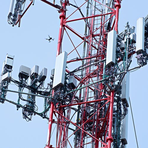
The Matrice 4T carries wide, medium tele and long-range tele cameras plus thermal in one compact airframe. The tele cameras read bolt-level detail from a safe standoff, so one crew covers several towers in a day rather than one.
Nobody leaves the ground, and the imagery becomes evidence attached to each finding.
Can thermal actually tell us anything useful on a tower?
Yes, and it finds what visual inspection misses entirely.
Overheating connections, failing power components and problem cabinets all show as temperature difference before they cause an outage. The DJI Matrice 4T’s thermal sensor covers that alongside the visual record in the same pass.
Can a drone verify antenna alignment?
It can document azimuth, tilt and mount condition with imagery your RF team can work from.
For heavily loaded or very tall masts, the Matrice 350 RTK with the Zenmuse H30T brings stronger zoom, longer endurance and laser rangefinding, which records exact distance to each element.
How do we survey a fibre route through bush?
This is where sensor choice decides the job.
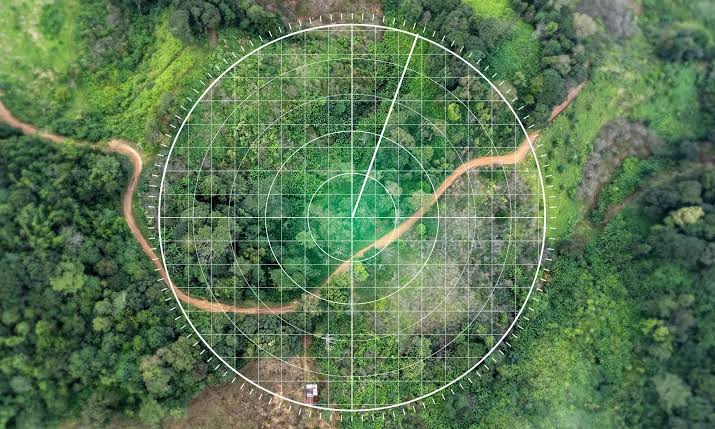
Photogrammetry cannot see through canopy. Zenmuse L2 LiDAR can, because laser returns penetrate vegetation to reveal the ground surface beneath.
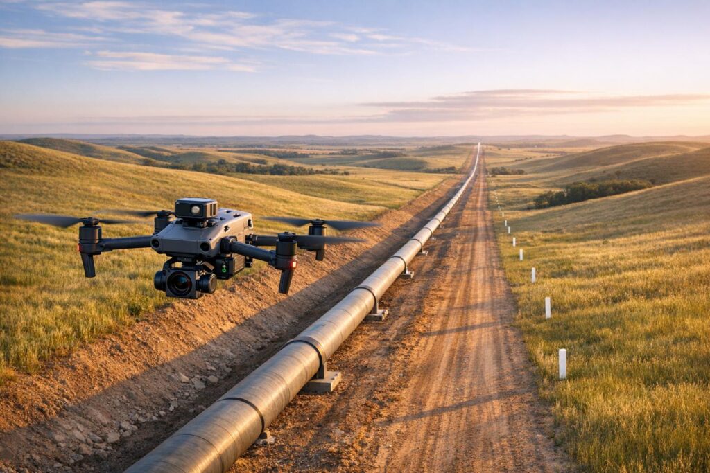
For long intercity alignments, the DJI Matrice 400 extends coverage in a single flight, reducing launch points and access trips along a dispersed route.
Can we monitor remote sites without sending a crew every time?
Yes, where the same route needs flying repeatedly.
DJI Dock 3 with the Matrice 4TD sits on site and flies scheduled inspections automatically, including after dark. Generator theft, perimeter breaches and equipment removal all happen at remote sites precisely because they are remote.
Change detection flags what was not there last time.
What about sites near airports or restricted airspace?
This is the question that separates providers, and operators should ask it early.
Flying near controlled airspace requires authorisation and active coordination, not a form submitted once. An operator who treats it as paperwork should not be on your sites.
ARCO Worldwide is Nigeria’s first licensed commercial drone operator, authorised by the NCAA for nationwide commercial operations and approved by the Office of the National Security Adviser.
How quickly can a nationwide campaign run?
Faster than climbing allows, and that is the whole argument.
We mobilise from Lagos, Abuja and Port Harcourt, with more than 15,000 flight hours and over 70 pilots and crew behind the operation. Inspection reporting runs under ISO 9001:2015 certified processes.
As Nigeria’s only DJI Enterprise Authorized Reseller and Enterprise Solutions Partner, we scale platforms to the campaign rather than stretching one aircraft across every site type.
The question worth asking your current provider
What do we actually receive at the end?
Raw imagery is not an inspection report. Under our Drone as a Service model you get structural condition reports with prioritised defect lists, thermal analysis, Digital Twin and 3D models, alignment verification, and maintenance recommendations tied to each finding.
Have a question that is not here? Talk to ARCO Worldwide today.