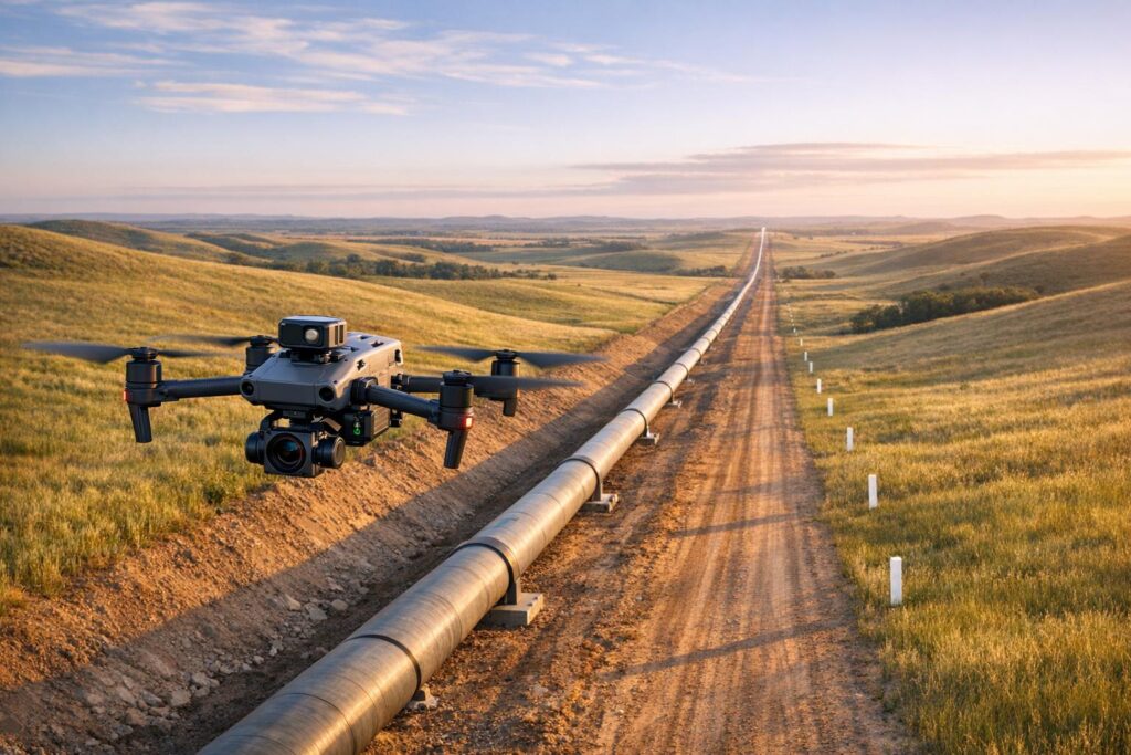
These are the questions that come up repeatedly from operators across the Niger Delta and beyond. Short answers, and the platform that solves each one.
How do we cover a pipeline corridor that patrols reach twice a week?
You stop flying missions and start running standing coverage.
A DJI Dock 3 with the Matrice 4TD sits beside the corridor and launches on a schedule, day and night, without a crew driving out. Transmission reaches up to 25 kilometres, so one dock covers a meaningful stretch of line.
Change detection then flags what is different since the last pass. The system does not wait for anyone to notice.
Can a drone detect tapping before product loss becomes significant?
Thermal is what makes this work, because most interference happens after dark.
The Matrice 4T carries thermal and wide-angle sensors built for night operation. Fresh excavation near a right of way, vehicles where none belong and heat signatures along the line all register when visual observation would show nothing.
For detailed verification, the Matrice 350 RTK with the Zenmuse H30T adds 34x zoom and laser ranging.
Do we have to shut the flare down to inspect the tip?
No. That is the single biggest saving aerial inspection offers upstream.
The Zenmuse H30T’s zoom captures weld detail, coating breakdown and corrosion from a safe standoff. The flare stays lit, production continues, and nobody goes up on a rope.
How do we inspect offshore assets without rope access?
The same standoff principle applies, extended to topsides, risers above the waterline, helidecks and vent stacks.
The Matrice 350 RTK holds position in wind and continues through rain, with enough endurance to work a structure methodically. For tanks, caissons and confined spaces, we deploy collision-tolerant platforms from Flyability, our OEM partner for enclosed environments.
Will this actually work in Niger Delta conditions?
Weather and terrain were the first things we tested, not the last.
The Dock 3 carries an IP56 rating and the aircraft holds IP55 protection, operating from -30°C to 50°C. Rain, humidity and harmattan dust do not ground the system.
Creeks and mangrove are an advantage rather than an obstacle, because a drone crosses water and vegetation that a boat or a crew cannot.
How fast can we assess a spill?
Within hours of access, you can have measured extent rather than estimates.
Thermal contrast often reveals hydrocarbon on water where the visual difference is slight. The Mavic 3M then adds multispectral assessment of vegetation stress across mangrove and farmland, which supports impact assessment and remediation tracking.
Every capture is timestamped and georeferenced, which matters when a regulator or a community asks later.
Is the output acceptable as inspection evidence?
It depends entirely on the operator, not the aircraft.
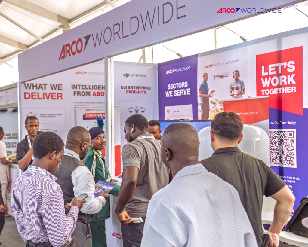
ARCO Worldwide is Nigeria’s first licensed commercial drone operator, authorised by the NCAA and approved by the Office of the National Security Adviser, with inspection reporting under ISO 9001:2015 certified processes.
Oil and gas is our deepest sector, with operational experience across the Niger Delta and oil-producing communities. As Nigeria’s only DJI Enterprise Authorized Reseller and Enterprise Solutions Partner, we match the platform to the asset rather than adapting whatever is available.
A question we get less often, but should
What happens to the data afterwards?
Capture is no longer the hard part. Interpretation and management are. That is why we deploy ROAV7’s Perseus platform locally, giving stakeholders secure cloud access to point clouds, orthomosaics and editable inspection reports.
Have a question that is not here? Talk to ARCO Worldwide today.